
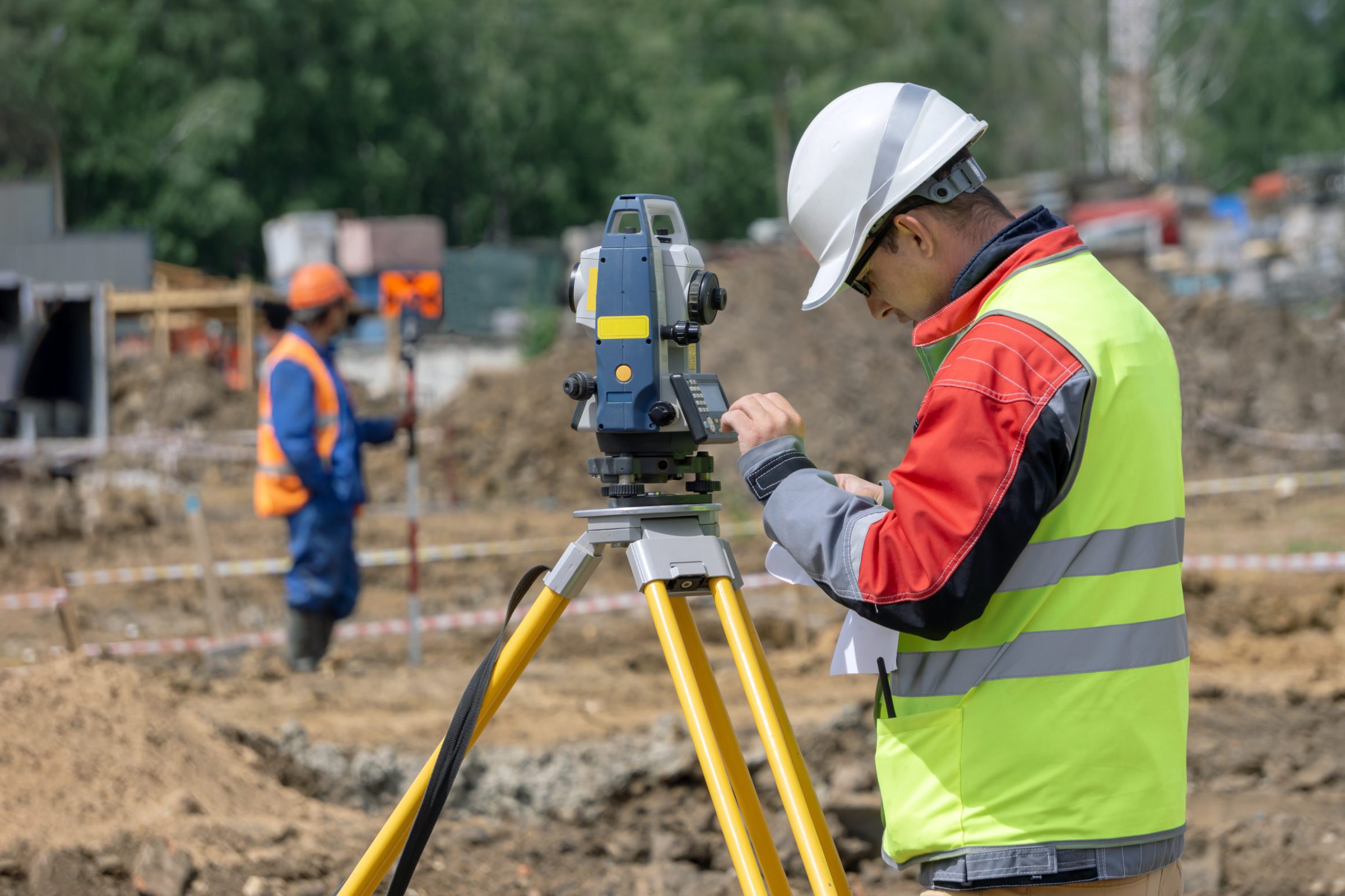
















Topography, the science that studies the configuration of the Earth's surface, is fundamental in various fields, including engineering, architecture, urban planning, and natural resource management. This article explores the importance of topography, detailing how its analyses and information impact the planning, construction, and sustainable management of projects.
Construction Planning and Design
Firstly, topography plays a crucial role in the planning and design of constructions. Topographic analysis provides essential data on the terrain's relief, slope, and natural features such as bodies of water and vegetation. This data helps engineers and architects design buildings that integrate harmoniously with the environment. For example, understanding the slope of the terrain allows for the design of foundations that ensure the stability of the structure. Furthermore, topographic analysis helps avoid construction in areas susceptible to landslides or flooding, thus preventing future structural problems and damage.
Safety and Structural Stability
Furthermore, the safety and stability of buildings are strongly influenced by topography. By identifying terrain characteristics that can impact stability, such as unstable soils or areas prone to landslides, professionals can adopt appropriate preventive measures. For example, topographic assessment can reveal the need for specific engineering techniques to reinforce foundations or the need for drains to control groundwater. In this way, accurate terrain analysis contributes to ensuring the safety of structures and protecting occupants from risks.
Management and Exploitation of Natural Resources
Furthermore, topography plays a vital role in the management and exploitation of natural resources. Detailed topographic analysis facilitates the identification and evaluation of resources such as water, minerals, and agricultural areas. For example, in mining projects, topographic mapping allows for the identification of areas with greater mineral potential and the efficient planning of extraction. Similarly, in agricultural projects, understanding the topography helps optimize land use and implement sustainable practices. Therefore, the responsible management of these resources is essential to minimize environmental impacts and promote sustainability.
Infrastructure Development
Furthermore, the development of infrastructure, such as roads, bridges, and sanitation networks, also depends heavily on topography. Detailed knowledge of the terrain allows for the design of solutions that adapt to local conditions, optimizing both cost and environmental impact. For example, when designing a road, topography helps determine the most efficient route, considering curves, slopes, and the need for excavations or embankments. Similarly, in bridge construction, topographic analysis is fundamental for evaluating foundation support and ensuring the stability of the structure.
Map Creation and Navigation
Furthermore, the creation of detailed topographic maps is an important aspect of surveying. These maps are essential for navigation and route planning, both in urban and rural areas. Accurate topographic maps provide information on elevations, watercourses, and terrain features, facilitating orientation and decision-making in activities such as travel planning, infrastructure construction, and natural area management. Thus, the availability of detailed information allows for more efficient and safe navigation, as well as supporting strategic planning.
Conclusion
In summary, topography is an indispensable science for a wide range of activities, from planning and construction to resource management and environmental assessment. Accurate topographic analysis provides fundamental data that helps ensure the safety, efficiency, and sustainability of projects. Integrating topographic information into planning and execution allows for process optimization, risk reduction, and the promotion of more responsible and effective development.