


Strategic Guide: Land Topography in Piçarras
Understanding Topography in a Coastal Context
Topography is the first and most decisive cost factor in any civil construction project. In Balneário Piçarras, a city experiencing rapid expansion due to the appreciation of its coastline and infrastructure, understanding the behavior of the land before acquisition or the start of a project is vital. Topography is not just a graphic representation; it is the analysis of contour lines that will dictate whether your project will be profitable or a drain on financial resources.
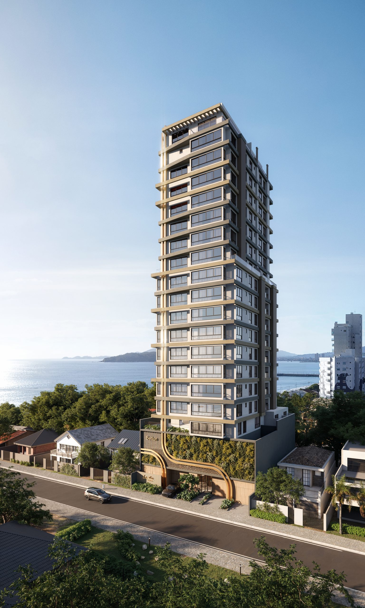
Flat land is the most desirable, but not always the most economically viable. Sloping or uphill land, if well planned, can offer privileged views, such as those overlooking Ilha Feia, an iconic landmark in the region. However, the need for retaining walls and earthmoving must be meticulously calculated to avoid surprises in the final budget.
Financial Impacts of Land Movements
The cost of earthmoving — the famous cut and fill — is often underestimated by inexperienced investors. On steeply sloping terrain, the volume of soil to be removed or brought to the site can increase the cost of foundations by up to 30%. Furthermore, we need to consider the logistics of transporting material in consolidated urban areas, which requires permits and rigorous planning to avoid fines or delays.
WGB Arquitetura e Engenharia uses 3D modeling software to calculate the balance between cut and fill. When we manage to keep the volume of earth within the lot itself, we eliminate the cost of transporting excess material (spoil), which represents a direct and significant saving in the project's cost spreadsheet.
Analysis of Construction Potential and Permitted Height for Buildings
It's not enough to just look at the land; you need to cross-reference the topographic data with the municipality's Master Plan. Piçarras' urban planning regulations establish occupancy restrictions that vary according to the zone where the land is located. The building coefficient and the maximum permitted height are directly influenced by the building's implantation level in relation to street level.
It is mandatory to respect the current Land Subdivision, Use and Occupation Law. Projects that ignore the guidelines for mandatory setbacks and permeability rates are frequently halted or undergo drastic changes during the approval process at the City Hall. Our team ensures that the project complies with the specific legislation of the region, avoiding rework that impacts the schedule and the final investment cost.
Comparison: Flat Terrain vs. Sloping Terrain
To help you make your decision, we analyzed the two most common situations in the local real estate market:
- Flat land: They feature simpler and more economical foundations. The cost of basic infrastructure (drainage, sewage, earthworks) is predictable and low. However, the appreciation for architectural design may be less, since the land does not offer natural viewpoints or zoning advantages.
- Sloping terrain: They allow for the creation of underground garages or staggered floors, which optimize the use of the area. The cost of retaining walls is high, but the end result offers a much higher market value, especially in high-end developments focused on ocean views.
The decision should always be based on a feasibility study. If you are looking for a quick return, flat terrain facilitates the start of construction. If the goal is a high-value-added project, sloping topography can be your greatest ally, provided that the investment in containment engineering is planned from day one.
Conscious Decision Making
As experts, we advise that you never finalize the purchase of land without first carrying out a complete topographic survey. This document should contain not only the dimensions and levels, but also the location of trees, utility poles, drainage systems, and any easements. In Piçarras, the proximity to the sea imposes additional challenges, such as the need for special foundations resistant to salt corrosion and an efficient drainage system to prevent flooding.
State-of-the-art engineering transforms geographical challenges into competitive advantages. By aligning the correct topography with an efficient architectural design, we ensure that every square meter is used intelligently. The success of your project begins long before the first excavation; it starts with the detailed feasibility analysis that our team performs with surgical precision.
Identifying the true potential of a plot of land in Piçarras with WGB This is the fundamental step to guarantee the profitability and success of your next real estate venture.