






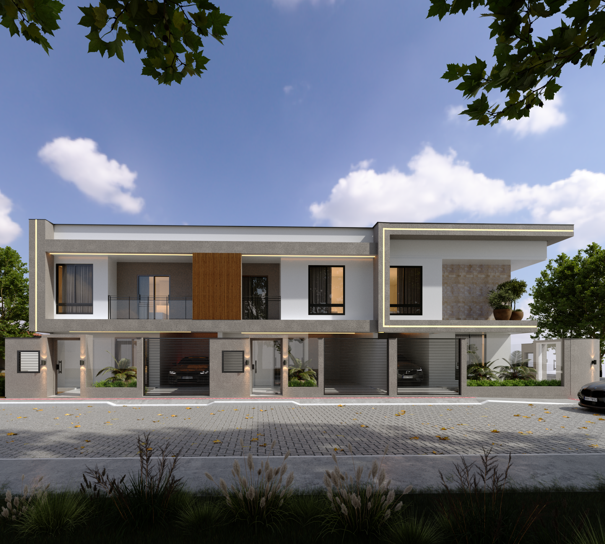











A civil engineering This is an area of extreme importance, especially because it is responsible for the safety of the local population. Therefore, the use of drones to map and monitor construction sites has become increasingly common.
Understand, in this article, how this technology can be extremely effective in the construction and monitoring of projects.
What are the applications of drones in civil construction?
Drones can have various applications in the construction industry. However, the most relevant are:
- Bidding and pre-planning: ensures a topographic survey even before the planning period begins, indicating drainage points, changes in elevation, and good locations for construction;
- PlanningWith the information gathered in the period prior to planning, it is possible to ensure greater speed in creation and provide the necessary accuracy to the centimeter;
- ExecutionThroughout the project's execution, it will be possible to save resources through the use of drones.
- MaintenanceDrones also help with maintenance, as they assist in monitoring large-scale assets in hard-to-reach environments.
What is the importance of drones in civil construction?
Currently, drones are gaining increasing prominence in the civil construction sector. They are responsible for accelerating all the work carried out in projects, as well as providing extremely accurate data to ensure greater resource savings and reduce the risk of rework within the same project.
Drones are also excellent allies when it comes to image processing, generating many results focused on contour lines, DSMs, DTMs, point clouds, and 3D models of the region, ensuring that all stages of the project are covered.
How to perform mapping with drones in civil construction?
To understand how to perform drone mapping in civil construction, several factors need to be considered. The main ones are:
- The type of camera used for mapping;
- The type of drone to be used;
- The image processing software to use;
- The flight route;
- Observing weather conditions;
- Delineating the flight path;
- The direction of the wind;
- Processing the images from the drone flight.
How to monitor and inspect construction sites using drones?
Through the use of drones, it is possible to carry out very quick inspections, ensuring greater ease in creating a routine of analysis and monitoring, which allows for a record of progress in relation to the construction site. Thus, a timeline is created to compare the maps.
Reducing rework
By using drones to perform routine inspections and obtain constantly updated visual data, it's possible to identify errors that could become problems at another time. This will ensure a considerable reduction in rework, preventing the need for extreme demolition measures.
What are the best drones and image processing platforms for civil engineering?
Among the best drones, it is possible to mention the Spectral 2 models from Nuvem UAV, with coverage of 400 hectares in just one flight, which lasts approximately 1 hour, the Mavic 2 Pro, covering 50 hectares per flight in 30 minutes, and fixed-wing drones, which can meet large demands, with 2-hour flights and coverage of 3,000 hectares.
Regarding image processing, the most suitable option is to use the Mappa platform, which is widely used to process images in a simple and accurate way, with orthomosaic models, DEMs, DSMs, contour lines, 3D models, and also point clouds.
The use of drones in workplace safety.
Drones can also perform a very important function: verifying whether workers are, in fact, using their safety equipment. In this way, with a simple command, it's possible to check if everything is in order while the company saves time and human resources.
Advertising campaigns using drones in the construction industry.
Currently, many business launches end up requiring the use of drones. Therefore, advertising campaigns are becoming increasingly common with aerial images, enabling the identification of commercial points and tourist locations, which increases the chances of selling the business.
Without a doubt, the use of drones has become indispensable for ensuring safety and modernity in any construction project. Therefore, it is up to companies to start investing in this economical and practical resource.